


….Exercise to boost patronage of nation’s ports, create 2m jobs- Amaechi
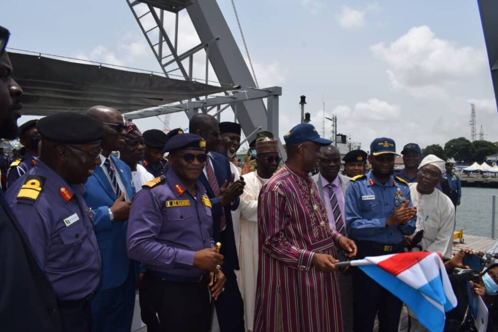
Determined to ensure safe navigation of ships on the nation’s waters, the Nigerian Navy on Wednesday commenced the indigenous survey and charting of the nation’s offshore waters.

The exercise is the first systematic hydrographic survey and charting of Nigeria’s coastal and offshore waters using a Nigerian owned survey vessel- NNS LANA and state-of- the art modern survey equipment wholly manned and operated by personnel of the Nigerian Navy.
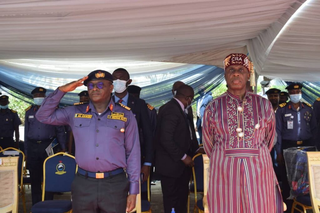
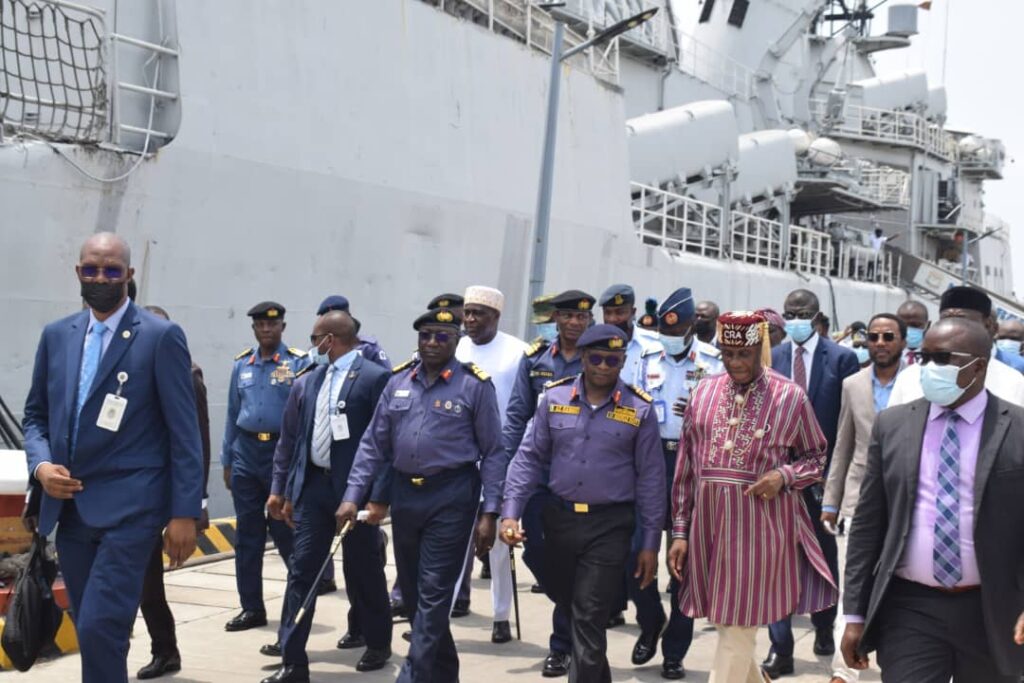
Speaking at the flag off ceremony of the exercise held at the NNS Beecroft in Apapa Lagos, Minister of Transportation, Rotimi Amaechi, said on completion, the survey and charting of Nigeria’s offshore waters will boost mariners’ confidence to increase patronage of the Lagos, Port Harcourt and Calabar ports, while the Warri, Sapele and other ports that are hitherto operating at the lowest level would be re-activated.
This, he said, would provide over 2 million direct and indirect jobs, increase the economic viability of the eastern ports and ultimately decongest Lagos traffic as well as reduce pressure on the roads.
Noting the importance of hydrographic services in safe navigation of ships, Amaechi expressed hope that the project upon completion would facilitate improved maritime shipping, security and economic development in Nigeria.
“I am highly delighted to be part of this historic event to mark the commencement of a systematic survey of Nigeria’s offshore waters by the Nigerian Navy. It is to be noted that Nigeria’s offshore and coastal waters cover a total area of about 84,000 square nautical miles and about 85 percent of Nigeria’s import and export trades are transported through this maritime domain. It is in the realisation of the security and economic importance of Nigeria’s maritime domain that Mr. President, acquired a 60-meter Offshore survey vessel called Nigerian Navy Ship LANA, including another 35-meter survey boat under construction in France.
“This hydrographic exercise would offer essential information to facilitate safe navigation of ships from one part of the sea to the other. Without this hydrographic exercise and services, shipping will be exposed to navigational hazards which would affect the security and economy of the nation.
“As this vessel commences the survey of Nigeria’s offshore today, it is expected that it would provide the necessary enablers to support the federal government presidential economic diversification initiative through improved maritime security, maritime trade as well as improve economic prosperity.
“It is also expected that at the end of the survey and charting campaign, up-to-date indigenous nautical products will be available to facilitate the smooth take off of the new deep seaports that are under construction at various parts of our offshore area.” he said.
Amaechi expressed optimism in the capability of the Nigerian Navy and its hydrographic agency to conduct the survey in line with international best practices just as he pledged government continuous support to the Navy.
“Your recent production of internationally accepted paper and electronic navigational charts of Lagos harbor and other parts of our backwaters as well as your efforts in the ongoing joint survey of river Niger, from Lokoja to Burutu, are enough evidences to assure mariners all over the world and other stakeholders that you have the requisite core competence to deliver on this set national objective,” he said.
Amaechi also urged relevant agencies including the Nigerian Ports Authority (NPA) and the Nigerian Maritime Administration and Safety Agency (NIMASA) to work harmoniously with the Nigerian Navy towards the completion of the national survey within the shortest possible time.
Earlier in his address, Chief of Naval Staff, Rear Admiral Awwal Gambo said the hydrographic survey and charting of the nation’s offshore waterways play a crucial role in ensuring safe navigation as well as delivery of maritime security.
He noted that the first attempt by the Navy to conduct a systematic hydrographic survey of Nigeria’s offshore waters was in the 19th century during British colonial rule when the United Kingdom hydrographic office survey produced chartings for navigation.
He, however, noted that some of the equipment were obsolete.
According to him, this is the first time Nigeria’s owned survey vessel manned by Nigerian Navy personnel will be conducting systematic hydrographic survey of the nation’s offshore waters for the purpose of producing indigenous chart coverage of the nation’s waters.
“The implications of this is that in the next few years, indigenously produced charts, up-to-date nautical charts and publications will be available for mariners use within Nigerian waters.
“This would not only replace old admiralty charts currently in use, it would also lead to the increased safety within our waters, boost confidence of mariners leading to the increased shipping traffic into various Nigerian ports for enhance economic prosperity.
“Today will go down in history as the day Nigeria finally began the process of taking ownership of the survey and charting of its coastal and offshore areas which are critical to our social economic development, national security and maritime defence as well as the safety of navigation in our waters,” he said.
The Naval Chief said at the moment, the Nigerian Navy survey team are surveying the Lekki Lagoon in order to produce navigable charts linking Lekki to Ikorodu in addition to the survey of River Niger from Lokoja to Burutu being carried out in conjunction with the National Inland Waterways Authority (NIWA) and the Nigerian Export Import Bank.
Flag Officer Commanding (FOC), Western Naval Command, Rear Admiral Yakubu Wambai said the survey and charting of Nigeria’s offshore waters will open up its maritime domain for improved trade.
He said the data to be collected by NNS LANA during her survey campaign would enable Nigeria take ownership of charting its waters.
“This has the potential of opening the maritime domain for improved maritime trade, efficient harvest of marine resources and effective maritime governance. Accordingly, this would help enhance maritime safety, socio- economic development and prosperity of ordinary Nigerians and ultimately, national security,” he said.
Hydrographer of the Nigerian Navy, Admiral Chukwuemeka Okafor, while expressing appreciation to the support provided by the CNS, which he said enabled the hydrographic office acquire core competence assured that the Hydrographic office would ensure that every aspect of the survey to be conducted meets with international standards set up by the International Hydrographic Organization.
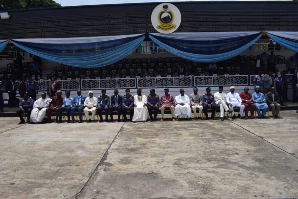
The event had in attendance Managing Director, Nigerian Ports Authority (NPA), Managing Director, NIWA, George Moghalu, representative of the NIMASA DG, Chudi Offordile and senior officers of the Nigerian Navy.
More to read
NRS, Customs, PEBEC assess NSW progress, to engage terminal operators on demurrage waivers
60 shipowners jostle for cabotage fund as NIMASA pledges transparent disbursement
Minister orders probe as indigenous barge companies shrink from 83 to 8